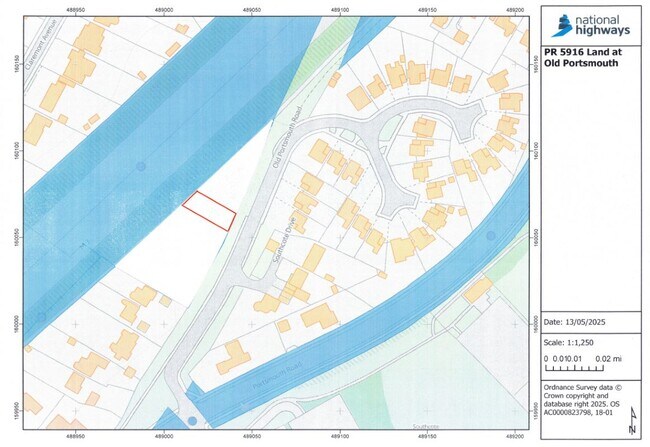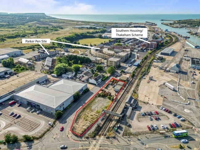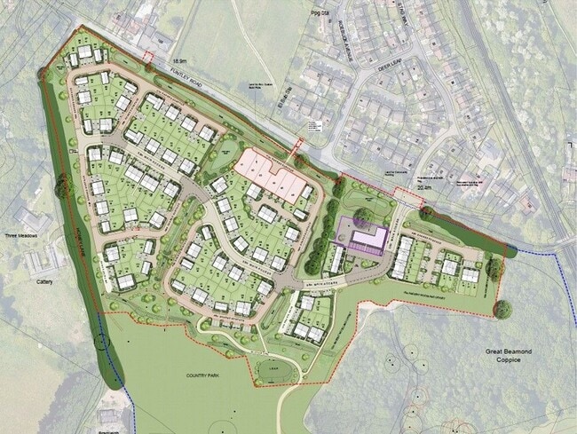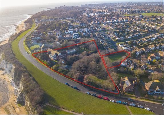
1 South Cliff Parade
Broadstairs, CT10 1TJ
- Land for Sale
- Price Upon Request
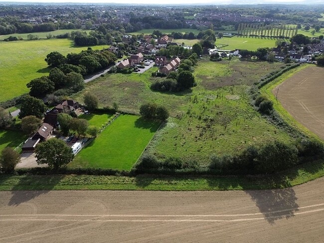
- 2.59 ac Plot
See More

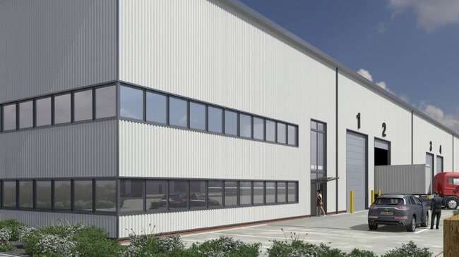
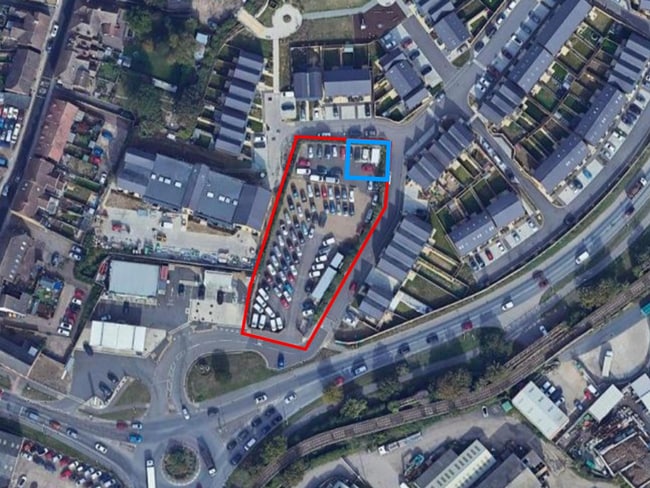
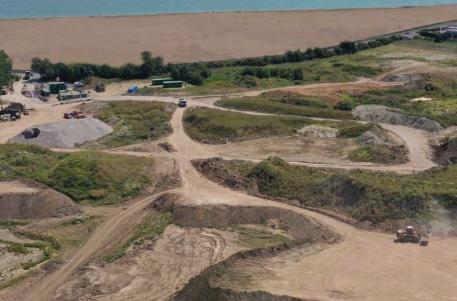
Including commercial development land, industrial plots, mixed-use sites, and brownfield or investment land.
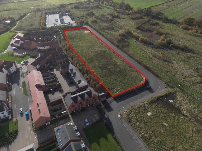
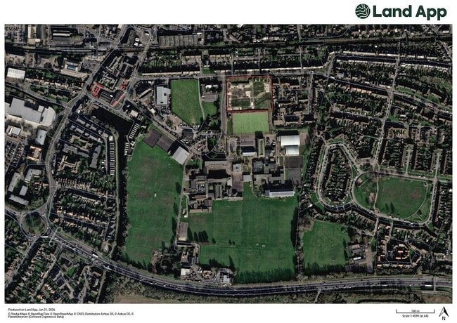
 View on Map